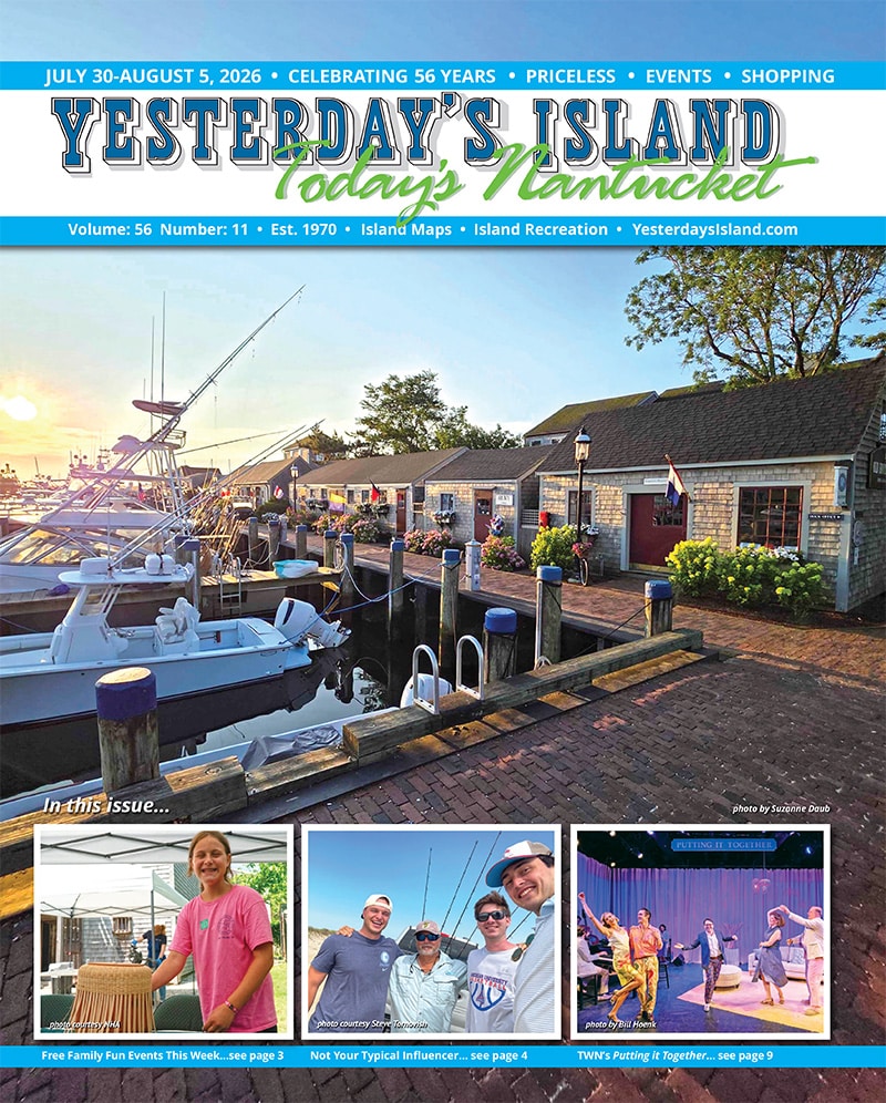

by Dr. Sarah Treanor Bois, PhD
Director of Research & Education at the Linda Loring Nature Foundation
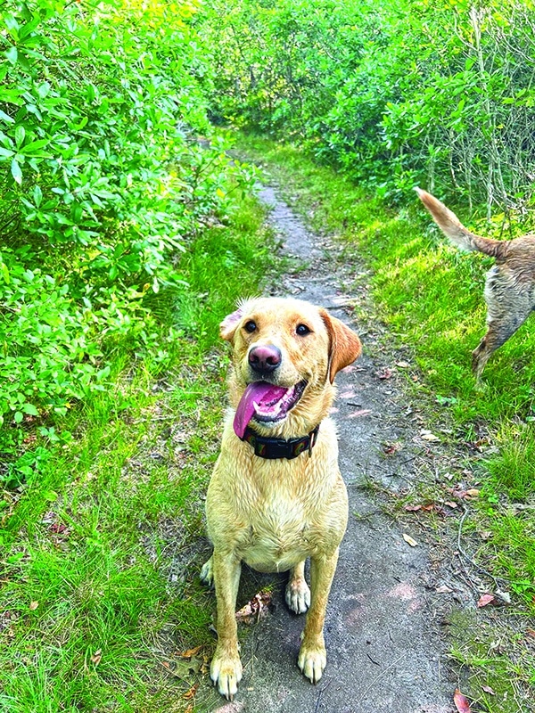
When you live on the island for a while, whether year-round or summer, you have your favorite haunts. You only need to look at the line at the Juice Bar or see the full parking lot at Sanford Farm. Sure, those places are great, but there are other ice cream spots and other trails to explore. As a dog-owner, I take my girls, Tiller and Mako, for walks every day. I have my favorite regular spots: some are close to home for easy, quicker walks and some trails are further afield for a weekend or when there’s more time.
Exploring a new trail or property can feel like visiting another island. Or, better yet, like learning a new story from an old friend. And with so much open space and publicly accessible trails around Nantucket, we have so many to choose from!
Like many new experiences on Nantucket, the trail I’m going to talk about today I “discovered” a few years ago when I met a friend for a walk. She told me where to park and that there was a small trail entrance nearby. Well, I fell in love with that trail and immediately put it into regular rotation. Sometimes these secret spots are more difficult to find, as the name implies. However, the Nantucket Land Bank has been working over the past year to name and put signage up at many of these spots. A primary part of their mission is providing access to the public. And while I never had a name for the spot myself, I recently learned that the property is called Burchell’s Farm.
Burchell’s Farm consists of around 70 acres and connects to a series of trails with multiple access points. For proximity’s sake, I access from Miacomet Avenue. The trail head is about 0.6 miles from Surfside. There isn’t a parking lot, but there is room for about three cars just off the road on the right-hand side. The property where the trail starts is 81 Miacomet Avenue if you’re using your GPS. Using the ACKtrails app the trail is called “Miacomet Overlook Trail,” with the entrance (and likely better parking) available off of West Miacomet Road just past Miacomet Golf Course.
The entrance off of Miacomet Avenue (my starting point of choice since it’s less than a mile from my house) is marked with a medallion for the Coast-to- Coast Trail: a nearly 25-mile trail created by the Nantucket Conservation Foundation that winds through land owned by NCF, Land Bank, Mass Audubon, the town, and the state. There is also a sign noting that it is the property of the Nantucket Land Bank and a public way with no hunting. From this entrance, the single- track trail starts in a pitch pine forest stand. The tall trees provide nice shade for this time of year. The trail is lined with low bush blueberries and black huckleberry plants, ripe right now. It’s nice to be able to have a few berries as a snack while out on a walk.
Being not too far from the main drag of Surfside Road and midisland, it’s surprising how quiet it can be in the forest. When I walked there this weekend, there was plenty of bird chatter, however. Eastern Towhees reminded me to “drink your tea…” among the chatter of other forest birds.
Walking along the wooded trail, as the forest thins and the canopy opens up, you come to Mizzenmast Road, which is basically a driveway at this section. Crossing to continue on the trail, you may notice more medallions for the Coast-to- Coast Trail. Parts of this trail matrix at Burchell Farm make up the mid-island portion of the Coast-to-Coast Trail. After crossing Mizzenmast, there will be a small wetland on the left that my dogs love to roll in (oh joy), but which is dry this time of year. Only the telltale cinnamon fern and other wetland plants are indicators that this spot can hold water. After that is where the trail connects to the Mizzenmast Extension trail. Turning left onto the trail, you start to travel south again through pitch pine forest. This part of the trail is slightly higher in elevation and looks down into the Miacomet Valley below. The shade is welcome during these hot summer days.
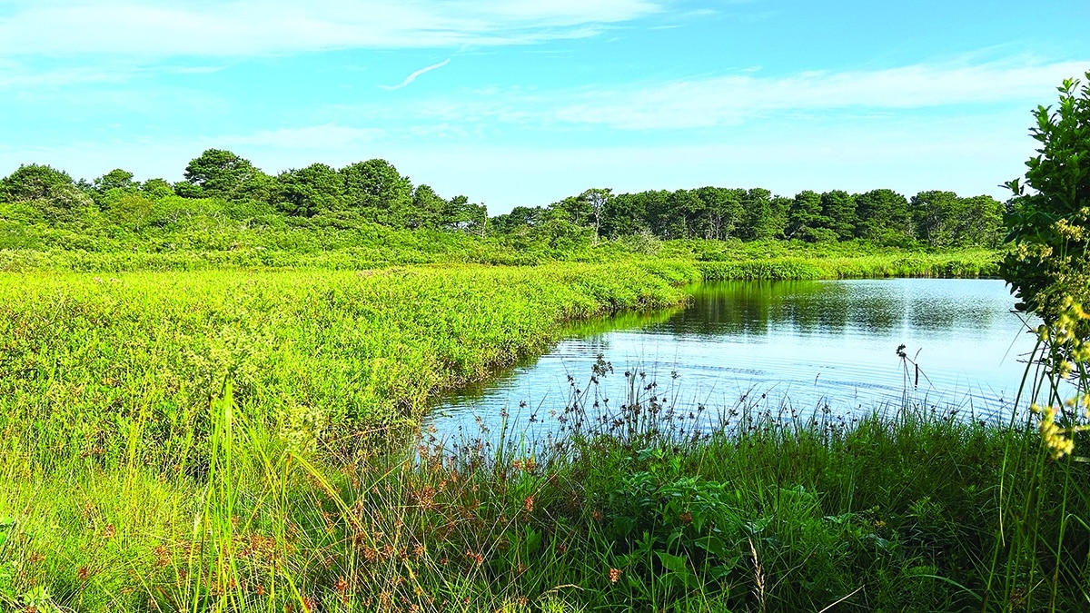
If you keep straight on this path, it will take you all the way out to Smooth Hummocks and eventually to the ocean. I like to turn left (to make a loop) onto a narrow trail that pitches down from the ridge. At the bottom, the vegetation changes. The ground is often wet in this spot (not so much now in summer), and I have ended up with very wet feet if not wearing my boots in the winter season. From here is my favorite part of the trail and the best views. An elevated section, almost like a dyke, crosses the top of a feeder section of Miacomet Pond with Burchell’s Pond on the other side. The open vista offers views of Miacomet Pond and low wetland vegetation. Swamp milkweed is in bloom right now as is the swamp rose mallow. A gorgeous, peaceful sight.
After going across the pond, you’re out in the open for a bit. The open field has some naturalized Yucca plants that likely escaped a garden. An interesting feature, but not an invasive plant here. Low shrubs and a cedar grove lead you back into the pitch pine habitat. Eventually the trails reconnect and the loop is complete. There are several intersecting trails. And while getting lost on purpose is sometimes fun, please consult the ACKtrails app or your map of choice before heading out.
So, why Burchell’s Farm? Burchell’s Farm is about 70 acres in total. The primary parcel that makes up the property was purchased in 1988 from Gibby Burchell shortly after the Land Bank’s founding in 1983. Gibby had previously been offered $8 million for the property from a developer, but had, instead, chosen to sell it to the newly formed Land Bank for around $1 million. As he said in an article published in 1990 by James Stolz, “It’s a matter of having vision, and I am tickled to death. If we’d sold all this to developers, we’d be sick for the rest of our lives.” Because of this vision, we can all enjoy the Burchell Farm property. And the flora and fauna of the area is protected for the future.
An adjacent 6-acre parcel, just south of the entrance I described on Miacomet Avenue, was purchased by the Nantucket Land Bank last year from the Austin Family. The property, to be known as “Austin Woods” represents a “beautiful and diverse woodland containing a variety of pine, oak, hickory, and larch trees,” according to the Land Bank announcement of the purchase. The plan is to expand the trail system into this area while protecting the habitat.
I know that I, as well as Mako and Tiller, look forward to continuing to explore these trails!