
by Dr. Sarah Treanor Bois, PhD
Director of Research & Education at the Linda Loring Nature Foundation
The Nantucket Land Bank is celebrating its 40th anniversary this year. Not a non-profit conservation group and not quite a Town department, the Land Bank is a singular entity. The first of its kind in the United States, the Nantucket Islands Land Bank was conceived by Nantucket’s Planning Commission, adopted by the voters of Nantucket, and established by a special act of the Massachusetts Legislature in 1983. The Land Bank’s revenue is derived from a two percent fee levied on most real estate transfers on the island. This funding is used to acquire and manage land for open space, agriculture, and recreational uses. The Land Bank is governed by a five-member elected commission who oversee the actions of the organization. With these impressive resources, we, as a community, all benefit from the work of the Land Bank.
The Nantucket Land Bank (NLB) has a unique place in our community and is essential to our way of life on-island. As one of the majority landowners with more than 3,400 acres, the Land Bank manages a lot of land as well as the access to that land. One of the things that I appreciate most about the distinction between the Nantucket Land Bank and other land trust groups on Nantucket is that a primary focus of NLB has always been public access. Whereas other conservation groups purchase large tracks of land to preserve open space and achieve conservation goals, the NLB has focused on some pretty small parcels in an effort to ensure access to a resource for our entire community. That has included primarily access to water: ponds, viewsheds, fishing spots, and boating access for kayaks and canoes for recreational or sporting activities like hunting and fishing. There are multiple access points along our harbors across the island from Madaket to Polpis. And, in some ways, the Land Bank has taken on many of the functions that traditionally a town’s park and rec department would administer.
For many in our community, people think of the Land Bank for their amazing playgrounds, the golf courses, and the beaches. My family has definitely benefitted from all of those things. However, it’s the smaller tracts of land that are sometimes underappreciated which I hope to highlight.
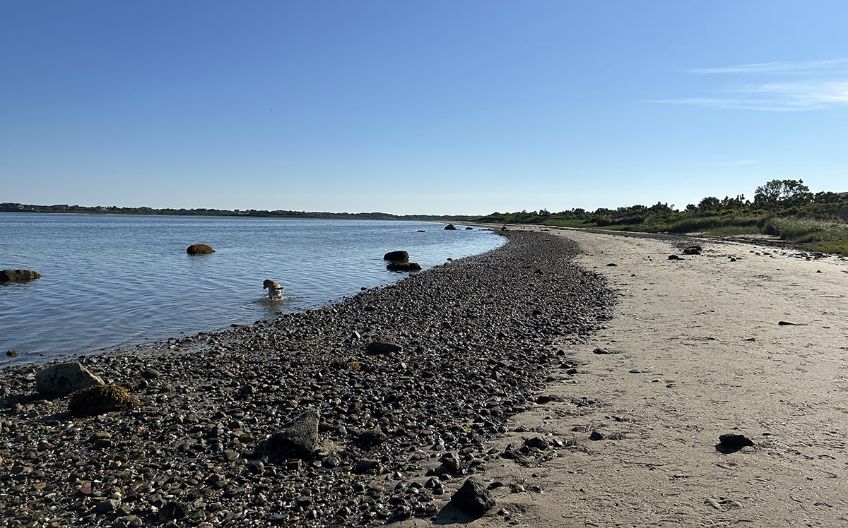
It’s amazing to me that, after ten years living here and seven years prior in the late 90s to early 2000s, I can still find new places on Nantucket where I have never been. Last year, I found a “new-to-me” beach access point which has become a favorite walking spot for my dogs, who love the water but not the crowds. Traveling to the end of Quaise Road, the NLB maintains a small, dirt parking lot with a trail to the beach. This spot provides access to the shore, but also to the small mooring field in Nantucket Harbor, close to the entrance to Polpis Harbor. This spot is also great in the winter for shellfishing.
Another novel location for me is a place that I stumbled upon while exploring Madaket Harbor with a group of college students studying Madaket Ditch. At the corner of Tennessee Avenue and M Street is a small dirt parking spot. It doesn’t look like much from the parking area: a tiny bit of mowed lawn and a wild hedge row. But follow the small trail, and you come to a long dock that stretches over salt marsh vegetation and ends at Hither Creek, the entrance to Madaket Harbor. Sitting at the end of the small dock, you are looking straight across to Madaket Marine. I’ve used it as a spot to view Hither Creek, but I imagine it can be used as a spot to crab or fish.
The parking lot and access at Cathcart Beach is an important access point to Nantucket Harbor and the mooring fields. The NLB also maintains the dinghy docks at that location. The NLB even invested in an adjacent property to the old parking area to provide more places to park. This purchase was a demonstration to the community that the extensive resources of the NLB can be used, in part, for more public boating access.
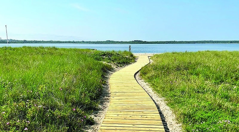
The Land Bank has recently focused not just on public access, but also on making many of the locations as accessible as possible to a broad audience. Sesachacha Pond, the island’s largest brackish body of water, now has a handicap accessible access point via a wooden boardwalk. The small spot of land NLB owns at 18 Sesachacha Road provides public access to the pond, while much of the surrounding area is owned by Mass Audubon Nantucket.
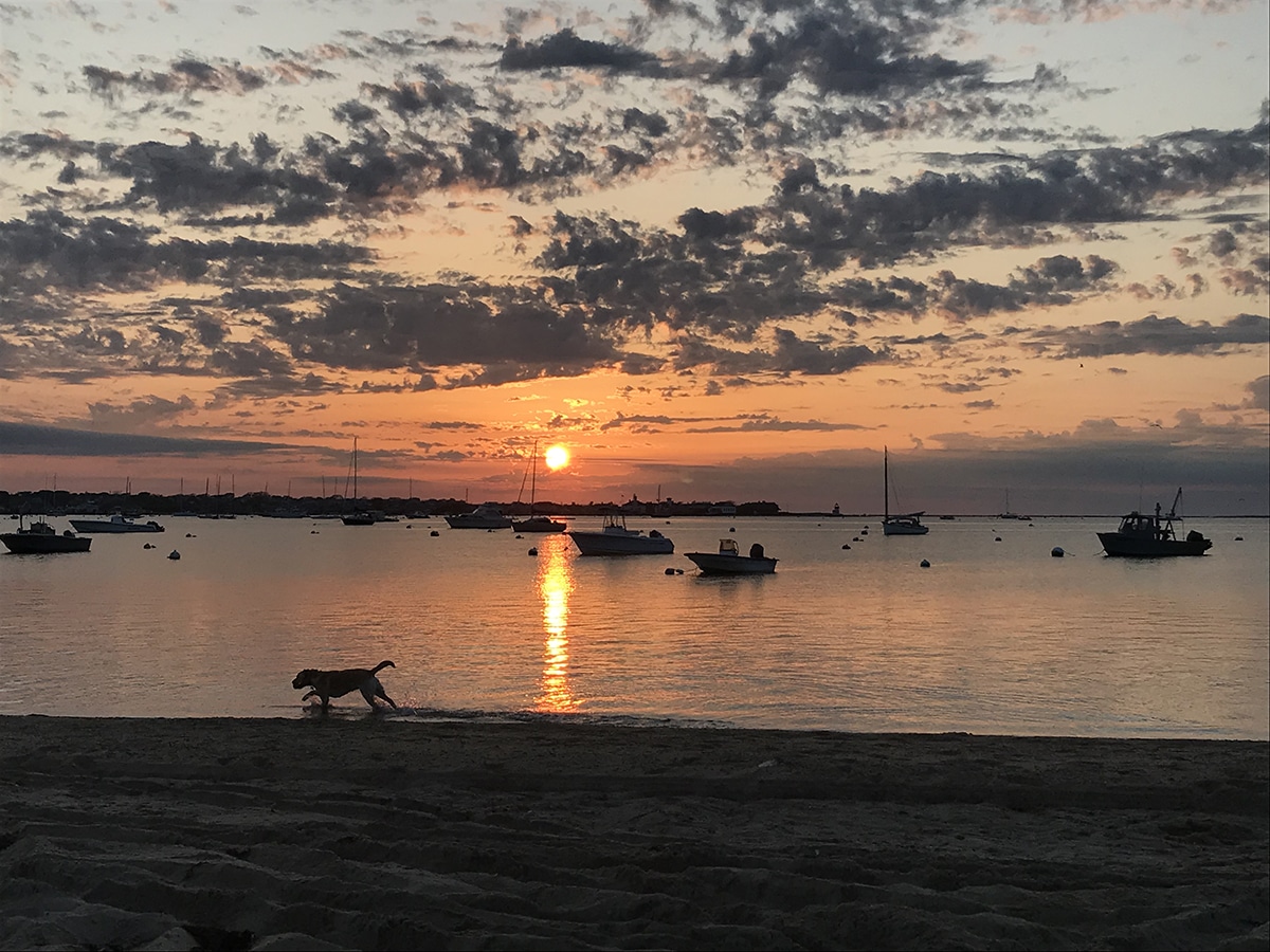
Another handicap accessible spot is Settler’s Landing. Located along the edge of Madaket Harbor on the western end of the island, Settler’s Landing features small waves and shallow waters and is accessible via a wooden dock that ends with benches that look out to the harbor. This is a fantastic place to watch the sunset.
All these water access points are in addition to the numerous beach access points: Ladies Beach, Madequesham, 40th Pole, Cisco, Stone’s Beach, and Codfish Park, all owned and maintained by NLB. The parking areas ensure that all beaches are free and that people are herded to paths and parking that protects the surrounding ecological resources.
You can check out all the Nantucket Land Bank properties via their interactive map. Some of the smaller parcels aren’t clickable, but you can see where parking and trails may be. They even have specific water access highlights on their website at nantucketlandbank.org/properties/featured-beaches-and-water-access— explore and you might just find a favorite new spot!